Public boat ramps on Toledo Bend: the Texas and Louisiana guide
Toledo Bend is the largest man-made lake in the South, and twice in a row Bassmaster called it the best bass lake in America. For something that big and that famous, it has no single landlord. There is no Army Corps of Engineers here. Two state river authorities split the lake down the drowned Sabine River channel, each running its own shoreline, with a national forest and two state parks filling in the rest.
The public ramps split almost evenly: 10 agency-verified launches on the Texas side, 11 on the Louisiana side. That near-balance is unusual for a border lake. What you pay depends entirely on whose ramp you back down. Some charge two dollars a head, some are free, and a couple of the free ones are dirt cuts in the bank that want four-wheel drive to reach.
Nobody publishes the whole list. Texas Parks and Wildlife documents its side, the two Sabine River Authorities each cover their own parks, and Louisiana's public launches live in a state GIS file most anglers never open. This guide puts all 21 verified public ramps in one place: who runs each one, what it costs, and which ones go dry when the lake drops.
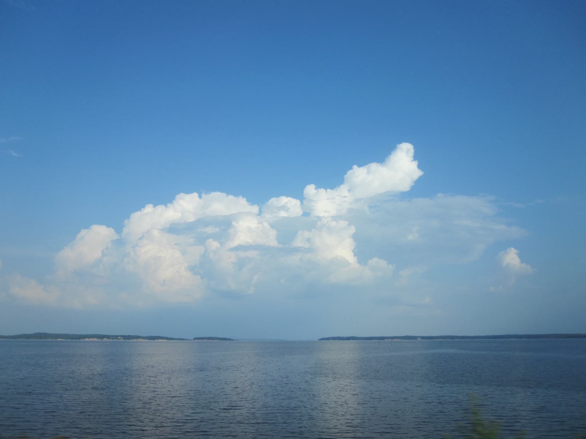
Toledo Bend at a glance
- Surface area: about 185,000 acres at full pool, the largest man-made body of water in the South
- Shoreline: more than 1,100 miles, stretching 65 miles up the Sabine River
- Impounded: the dam closed the Sabine in 1966; the powerhouse came online in 1969
- Owner / operator: jointly run by the Sabine River Authority of Texas and the Sabine River Authority of Louisiana. No Corps of Engineers.
- States: Texas (Sabine, Shelby, Newton, and Panola counties) and Louisiana (Sabine and De Soto parishes)
- What it is: a FERC-licensed hydroelectric project, built for water supply and power rather than flood control
- Claim to fame:Bassmaster's number-one bass lake in the country in 2015 and 2016, the first lake to repeat
A lake with two owners and no Corps
Most big Southern reservoirs are federal. The Corps of Engineers builds the dam, runs the lake, and charges a standard day-use fee at every ramp. Toledo Bend is not that. Texas and Louisiana each created a Sabine River Authority, in 1949 and 1950, to develop the river they share, and the two agencies built this lake together in the 1960s. They financed it with state revenue bonds instead of federal money, which makes Toledo Bend one of the only large water-and-power projects in the country built without Washington footing the bill.
It is a hydroelectric project first, licensed by federal energy regulators as FERC No. 2305, with two turbines in the dam and a normal pool held at 172 feet above sea level. The practical consequence for anyone towing a boat: there is no single launch permit and no single fee. Each authority runs its parks its own way, Louisiana's state parks add a third system, and the national forest on the Texas shore adds a fourth. Sort out which one you are dealing with and the rest is easy.
What it costs to launch
Toledo Bend is cheaper to launch on than most destination lakes, and unlike Lake Texoma to the north, it actually has free public ramps. The systems, by operator:
- Sabine River Authority of Louisiana parks: $2 per person for day use, children 12 and under free, with a $60 annual pass. Launching is included in the admission.
- Louisiana state parks (North and South Toledo Bend): $3 per person to enter, seniors and small children free. The launch is covered by the entry fee.
- Sabine River Authority of Texas:a split. Several of its ramps are free; others charge a day-use fee the agency doesn't post a price for.
- Sabine National Forest ramps (Texas): around $2 per vehicle per day. These sit on Forest Service land but are run by the Texas authority, which is why they charge a fee where most national-forest ramps are free.
One thing that surprises visitors is the fishing license. There is no special Toledo Bend license. Texas and Louisiana honor each other's licenses on the boundary water: a fishing license from either state, resident or nonresident, lets you fish the open lake. So an out-of-state visitor needs just one nonresident license, from whichever state is handier, and it covers both sides of the old channel. Fish you keep follow the limits of the state where you land them. Texas and Louisiana residents 65 and up get a wider break, fishing all of the neighboring state's public water on their home license.
The Texas side: free ramps and forest ramps
Texas Parks and Wildlife counts about 33 access points on the Texas shore, but most are private marinas and fish camps charging their own fees. The genuinely public launches fall into two groups: the Sabine River Authority's own parks, several of them free, and the ramps on Sabine National Forest land that the authority operates for a fee.
The free SRA of Texas ramps (no fee)
The two launches flanking the State Highway 87 bridge at Six Mile (the second is on the west side of the bridge) are free public ramps and the anchor of a state paddling trail. North of there, Swede Johnson Recreation Area near Joaquin and Tenaha Creek at the FM 139 bridge are both free SRA-Texas ramps. None of the four charges a thing, which makes them the cheapest way onto the Texas side.
Bayou Siepe and Carrice Creek (SRA-TX, day-use fee)
Two more Sabine River Authority ramps, Bayou Siepe at the end of FM 100A and Carrice Creekoff Highway 21 east of Milam, charge a day-use fee. The authority doesn't publish the amount, so call ahead if the difference between free and paid matters to your trip.
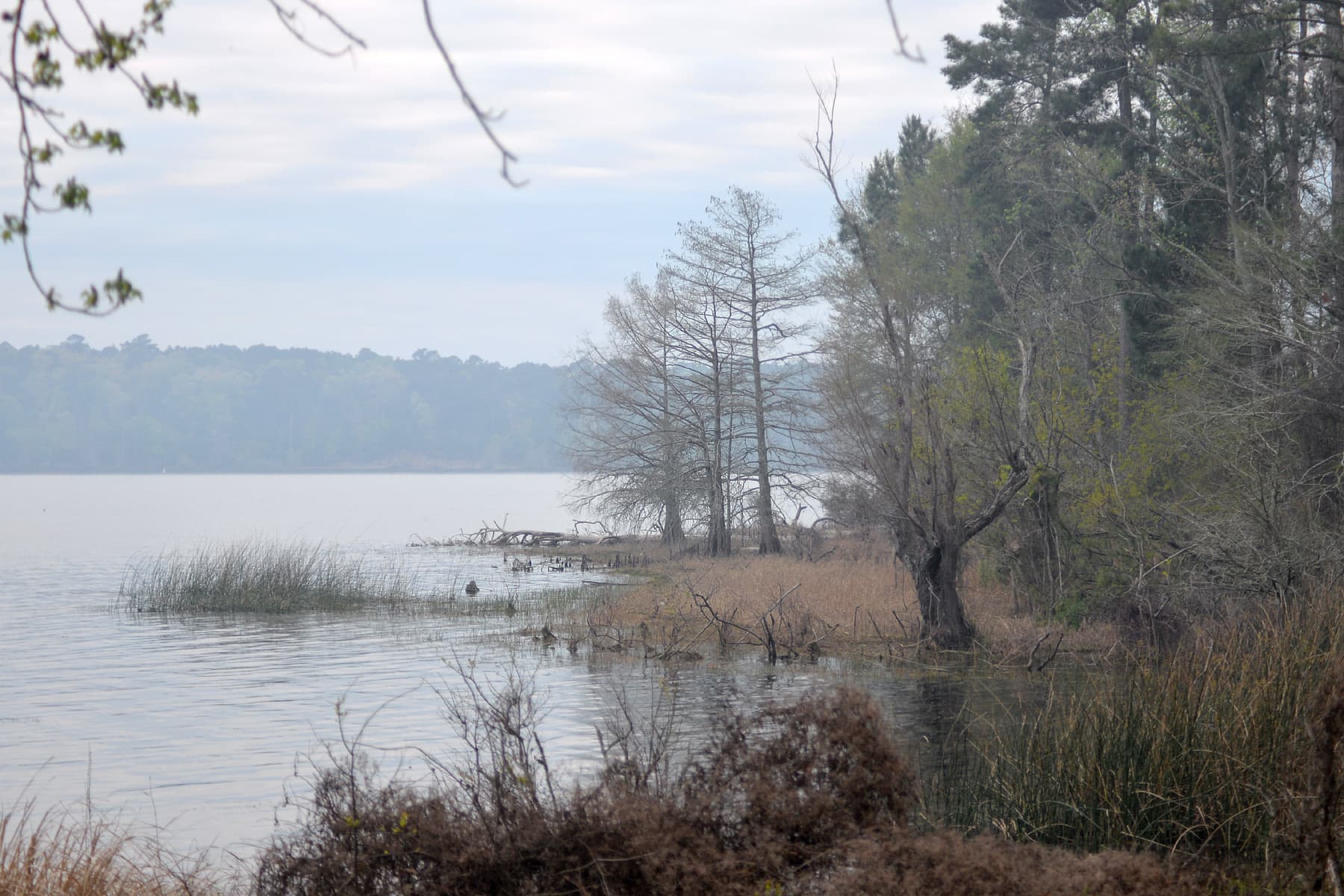
The Sabine National Forest ramps (Forest Service land, SRA-TX run, day-use fee)
Four developed ramps sit inside Sabine National Forest along the Texas shore: Ragtown near Center, Indian Mounds, Willow Oak south of Hemphill, and East Hamilton, which is day-use only with no camping. They look like Forest Service campgrounds, but the Texas authority runs them, so expect a day-use fee of about two dollars a vehicle rather than the free launching most national forests offer. Indian Mounds has two ramps and stays open year round.
Pendleton Park, not Pendleton Harbor
The newest public ramp on the Texas side is the four-lane launch at the SRA-Texas Pendleton Recreational Area, which locals also call Pendleton Park, near where Highway 21 crosses the state line. It opened in 2024. Don't confuse it with Pendleton Harbor, the gated residential subdivision a few miles away. The harbor is private; the park is the public one. Our dataset only carries the harbor record, so the new park ramp isn't in the table below, but it is worth knowing if you are launching near the dam end.
The Louisiana side: parksites, state parks, and free dirt ramps
Louisiana's shoreline is where the Sabine River Authority of Louisiana runs its numbered parksites, including the biggest boat ramp on the lake. That one is Cypress Bend (Parksite 11), a six-lane concrete ramp with a hundred parking spaces, more launching capacity than anything on the Texas side. San Miguel Park south of Zwolle, Oak Ridge Park, and Pleasure Point round out the developed parksites, each two lanes and each $2 a person for the day.
The two Louisiana state parks add their own ramps. North Toledo Bend State Park near Zwolle and South Toledo Bend State Park near Anacoco both run a double-lane concrete ramp behind a $3-per-person gate, open year round.
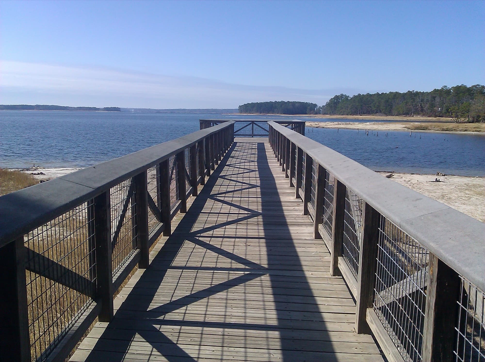
The free Louisiana ramps
Five public launches on the Louisiana side cost nothing, but read the fine print before you tow out. Blue Lake west of Zwolle is the one to remember: a free two-lane concrete ramp with real parking, usable until the lake drops about five feet below pool. Converse Bay (Parksite 4) is a free two-lane ramp as well. The other three, including Parksite 3-A, Hot Wells, and Lanan Bridge, are primitive dirt-and-sand ramps with no improved parking. Plan on four-wheel drive, and on Lanan Bridge, small boats only.
The ramp you can't just drive up to
Near Florien on the Louisiana side, the Army runs the Toledo Bend Army Recreation Park, a Fort Johnson facility that has a ramp and a marina. It opened to the general public in November 2022, which sounds like an open door but isn't quite. Civilians have to go through the installation's membership program, complete a boating-safety course, and take a lake orientation before they can launch. It is a gated military rec park, not a pull-up-and-back-down public ramp, so we leave it off the table below.
Why everyone is here: the bass
Toledo Bend earned its reputation on largemouth. Bassmaster named it the number-one bass lake in the United States in 2015, then again in 2016, the first time any lake had held the top spot two years running. The 2016 ranking credited the lake with 139 certified bass over ten pounds in a single year, topped by a 14-pounder. The fish are Florida-strain largemouth, stocked for decades into warm, timber-filled water that grows them big.
The lake even hands out trophies for it. Catch a largemouth of ten pounds or more, register it, and release it alive, and the Toledo Bend Lunker Bass Program gives you a free fiberglass replica to hang on the wall. The Sabine River Authority of Louisiana started the program in 1992; the Toledo Bend Lake Association has run it since 2005.
Most of those fish get caught by boats that towed a long way to be here. If your run to the lake from Houston, the Metroplex, or Shreveport is a couple of hours of interstate each way, bearing protectors run about $29 and spare you the roadside trailer-hub repair that ends a fishing weekend before it starts.
What to know before you trailer down
- Low water, not the calendar, closes ramps.Toledo Bend doesn't shut down for winter, but it drops in drought, and the ramps go dry from the shallow end first. The primitive dirt ramps fail earliest. The severe 2011 drought pulled the lake to historic lows and left ramps high and dry, and the marked boat lanes had to be re-cut deeper to stay passable. Check the lake level before a low-water trip.
- One license, either state. A Texas or Louisiana fishing license, resident or nonresident, covers the open lake. Out-of-state visitors need just one nonresident license from either state, and fish you keep follow the limits of the state where you land them.
- Free ramps exist, but the usable list is short. Blue Lake and Converse Bay in Louisiana, and the four free SRA-Texas ramps, are your no-fee options. The rest of the free ramps are 4WD dirt.
- Clean, drain, and dry every time.Giant salvinia reached Toledo Bend in 1998, and the river authorities still spend heavily fighting the floating fern with herbicide and weevils. Don't carry it, or zebra mussels, to your next lake.
What first-timers forget at the ramp
After running a directory of 46,900+ public ramps long enough, the same items show up in “left at the launch” posts week after week. Four worth keeping a spare of in the truck:
- Trailer drain plug· Amazon ↗ (~$7). The single most-forgotten item, period. Also the one that ends a trip fastest.
- Kill-switch lanyard· Amazon ↗ (~$8). Federally required on most boats since April 2021. Easy to lose, easy to replace.
- Transom ratchet straps· Amazon ↗ (~$40). A two-hour tow on the interstate is long enough for a cheap strap to let go.
- USCG-approved PFDs· Amazon ↗ (~$72). Sized for everyone aboard. Wardens from both states do check.
As an Amazon Associate, BoatRampMap.com earns from qualifying purchases. Commissions help keep the directory free.
Every public ramp on Toledo Bend
The 21 agency-verified public launches are mapped and listed below, 10 in Texas and 11 in Louisiana. 50 more points from USGS and OpenStreetMap records appear on the map but not the table. Many are residential street-ends near the water or unverified coordinates rather than developed public ramps. Click any ramp for GPS coordinates, directions, and full details.
| Ramp | Side | Operator | Fee |
|---|---|---|---|
| Blue Lake Boat Launch | LA | LDWF (public) | Free |
| Hot Wells Ramp | LA | LDWF (public) | Free; primitive (4WD) |
| Lanan Bridge Ramp | LA | LDWF (public) | Free; small boats, 4WD |
| North Toledo Bend State Park | LA | Louisiana State Parks | $3/person entry |
| SRA Parksite 11, Cypress Bend | LA | SRA of Louisiana | $2/person day-use |
| SRA Parksite 15, Pleasure Point | LA | SRA of Louisiana | $2/person day-use |
| SRA Parksite 2, Oak Ridge Park | LA | SRA of Louisiana | $2/person day-use |
| SRA Parksite 3-A | LA | SRA of Louisiana | Free; primitive (4WD) |
| SRA Parksite 4, Converse Bay | LA | SRA of Louisiana | Free |
| San Miguel Park | LA | SRA of Louisiana | $2/person day-use |
| South Toledo Bend State Park | LA | Louisiana State Parks | $3/person entry |
| Bayou Siepe | TX | SRA of Texas | Day-use fee |
| Carrice Creek | TX | SRA of Texas | Day-use fee |
| East Hamilton | TX | Sabine NF / SRA-TX | Day-use fee; day-use only |
| Highway 87 Bridge (West) | TX | SRA of Texas | Free |
| Indian Mounds | TX | Sabine NF / SRA-TX | Day-use fee |
| Sabine National Forest - Ragtown | TX | Sabine NF / SRA-TX | Day-use fee |
| Sabine National Forest - Willow Oak | TX | Sabine NF / SRA-TX | Day-use fee |
| Six Mile (Highway 87 Bridge East) | TX | SRA of Texas | Free |
| Swede Johnson Recreation Area | TX | SRA of Texas | Free |
| Tenaha Creek (FM 139 Bridge) | TX | SRA of Texas | Free |
Plus 50 additional access points across both shores. They appear on the map above; for the full record set, see the Toledo Bend Reservoir waterbody page.
Methodology and sources
Ramp inventory comes from our database of 46,900+ public ramps, filtered to records on Toledo Bend across the counties and parishes that touch the lake. We exclude private marinas, resorts, fish camps, and the lake's many private “landing” launches; the table lists only launches whose operator and access terms we verified against an agency source. The Louisiana classifications come from the Louisiana Department of Wildlife and Fisheries Boat Launches dataset, which marks each launch public or private.
Texas-side operators, fees, and ramp details were checked against the Sabine River Authority of Texas park pages and TPWD's Toledo Bend access directory. Louisiana parksite rates come from the Sabine River Authority of Louisiana, and state-park details from Louisiana State Parks. Lake statistics, ownership, and the FERC license come from the Toledo Bend Project Joint Operation and the Texas Water Development Board. The back-to-back bass rankings come from Bassmaster's 100 Best Bass Lakes lists for 2015 and 2016. Last verified June 2026.
Frequently asked questions
Do I need a Texas or Louisiana fishing license on Toledo Bend?
A fishing license from either Texas or Louisiana, resident or nonresident, covers the open lake under the two states' reciprocal agreement. There is no special Toledo Bend license like the one Lake Texoma uses. An out-of-state visitor needs just one nonresident license from either state, not one per side; fish you keep follow the bag and length limits of the state where you land them.
Are there any free boat ramps on Toledo Bend?
Yes, which sets it apart from many big lakes. On the Louisiana side, Blue Lake and Converse Bay are free improved ramps; on the Texas side, Six Mile, Swede Johnson, and Tenaha Creek are free SRA ramps. A few more free launches exist but are primitive 4WD dirt ramps. Compare free ramps in Texas and free ramps in Louisiana.
How many boat ramps does Toledo Bend have?
Counting private marinas and fish camps, the lake has dozens of launch points. Strictly public, agency-verified launches: the 21 in our table, 10 in Texas and 11 in Louisiana.
What is the biggest boat ramp on Toledo Bend?
Cypress Bend (SRA Parksite 11) on the Louisiana side, a six-lane concrete ramp with about a hundred parking spaces. Nothing on the Texas side matches it for launch capacity.
Who owns and runs Toledo Bend?
The Sabine River Authority of Texas and the Sabine River Authority of Louisiana own and operate it jointly, through the Toledo Bend Project Joint Operation. It is a hydroelectric and water-supply project, not a Corps of Engineers flood-control lake, which is why launch fees follow each authority's own rules rather than a single federal system.
Does Toledo Bend ever get too low to launch?
In a drought, yes. The ramps go dry from the shallow end, and the primitive dirt ramps are the first to become unusable. The severe 2011 drought dropped the lake to historic lows and left ramps high and dry. Check the current lake level before a trip in a dry year.
See also: Public boat ramps on Lake Texoma · Every Toledo Bend ramp on the map · All boat ramps in Texas · All boat ramps in Louisiana